
New high-tech maps developed by Stanford could fast track groundwater recharge: Here's how it works
SAN JOSE, Calif. (KGO) -- Researchers at Stanford are hoping to jump start a water revolution in California.
The goal is to rapidly expand the areas where we store water -- not by building reservoirs, but by returning millions of gallons back into the ground in a new and efficient way.
You could say San Jose is a city on the way up. We're not talking tech jobs or housing prices, but its geology.
A recent study found the elevation of San Jose has risen slightly over the decades, while dozens of other cities around the country are steadily sinking. One common factor is groundwater.
Just ask Jason Gurdak, hydrologist with Valley Water.
"Well, here in Santa Clara County, we've had subsidence that was first measured in 1915. We were actually the first city in the United States that had subsidence caused by groundwater over pumping," Gurdak said.
But, that early warning set water managers on a decades-long road to recharge. Valley Water manages a sophisticated system of ponds and groundwater injection wells to help replenish the area's aquifers. While sites, like the Laguna Seca basin at Coyote Valley are being conserved as open space, allowing additional stormwater to sink into the water table. These are long term strategies that are paying off.
"So, we've known about subsidence well before other cities, and we've been working with sustainable groundwater management through creating diverse water supply. These recharge facilities importing water to raise the groundwater levels, and we've stopped subsidence by the 1970s. So today, there's no permanent subsidence in San Jose," Gurdak said.
And now, researchers at Stanford's Doerr School of Sustainability are hoping to use ground-breaking technology to expand groundwater recharge across California's Central Valley. Using airborne electromagnetic sensors that we first profiled here on ABC7 news, the Stanford team has been mapping what you could call the state's groundwater highways. Lead scientist Rosemary Knight, Ph.D., describes them as a loose, gravely soils that allow the water to effectively reach the aquifers deep underground.
"We took those data and have now analyzed them to see what's below the surface, where they are sands and gravels that water can move down through. Where there are clays that would block that flow. And the kind of information, it gives us is an amazing view into the subsurface," says Knight.
And now, Knight and her team have turned that mapping into an open-source kit for planners, detailing up to 13 million acres of the Central Valley that may be optimal for recharge. It's an area that's been hit hard by sinking ground levels and collapsing aquifers.
"So the volume we can store underground is, like I said, 170 kilometers cubed, and that's about nine Lake Shasta's. There's 20% to 60% of the land area we've estimated to be suitable for recharge, and that comes down to between 2,000,007 million acres. So, we have the space. What we need is the willing landowners," Knight said.
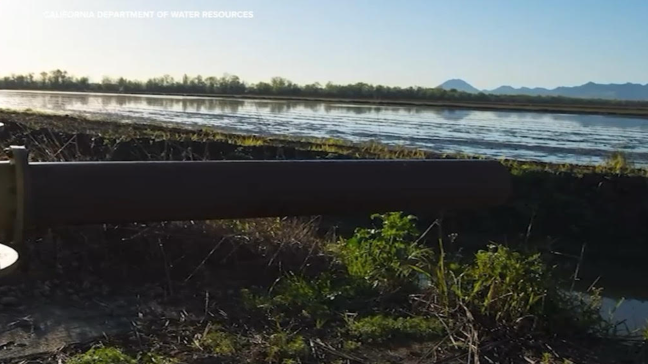
She believes the data could help fast track recharge projects like this one we profiled along the Kings River. It allows farmers and ranchers to pinpoint fields and orchards that could be used to absorb diverted floodwater during heavy storm years, without damaging crops.
"So, the volume we're talking about, we can easily accommodate that extra or excess surface water in wet years. And, I want to be very clear on this point. When we talk about excess surface water, we're not stripping all the water from the streams, from the salmon, from the ecosystems. That's a very thoughtful estimate that says the environment is taken care of and our ecosystems have the water they need," Knight said.
The mapping does not currently include urban areas, because of restrictions on the aerial survey flights. But water managers in areas like Santa Clara County have also invested in their own research and point to the success of their recharge program.
"The geology makes all the difference. All of our research facilities are located on the edge of our groundwater basin, where we know there's more sand and gravel. So, the water that is in those recharge facilities easily can flow down to the aquifer and recharge the aquifer," Gurdak said.
It's a vision of stabilizing California's water future on a vast scale. It is recharging invisible reservoirs we will never see with water we desperately need -- the same groundwater that provides roughly 70% of the water used in the Central Valley during drought years.