
Event Date
What is SWAT? The Soil & Water Assessment Tool (SWAT) is a small watershed-to-river basin-scale model used to simulate the quality and quantity of surface and ground water and predict the environmental impact of land use, land management practices, and climate change on water resources. SWAT is widely used in assessing the impact of land-management practices on groundwater and surface water, non-point source pollution, reservoir operation, and other regional-scale hydrologic assessments.
What is SWAT+? SWAT+ is a revised version of the SWAT model that provides a more flexible spatial representation of interactions and processes within a watershed.
AGRICULTURAL WATER CENTER
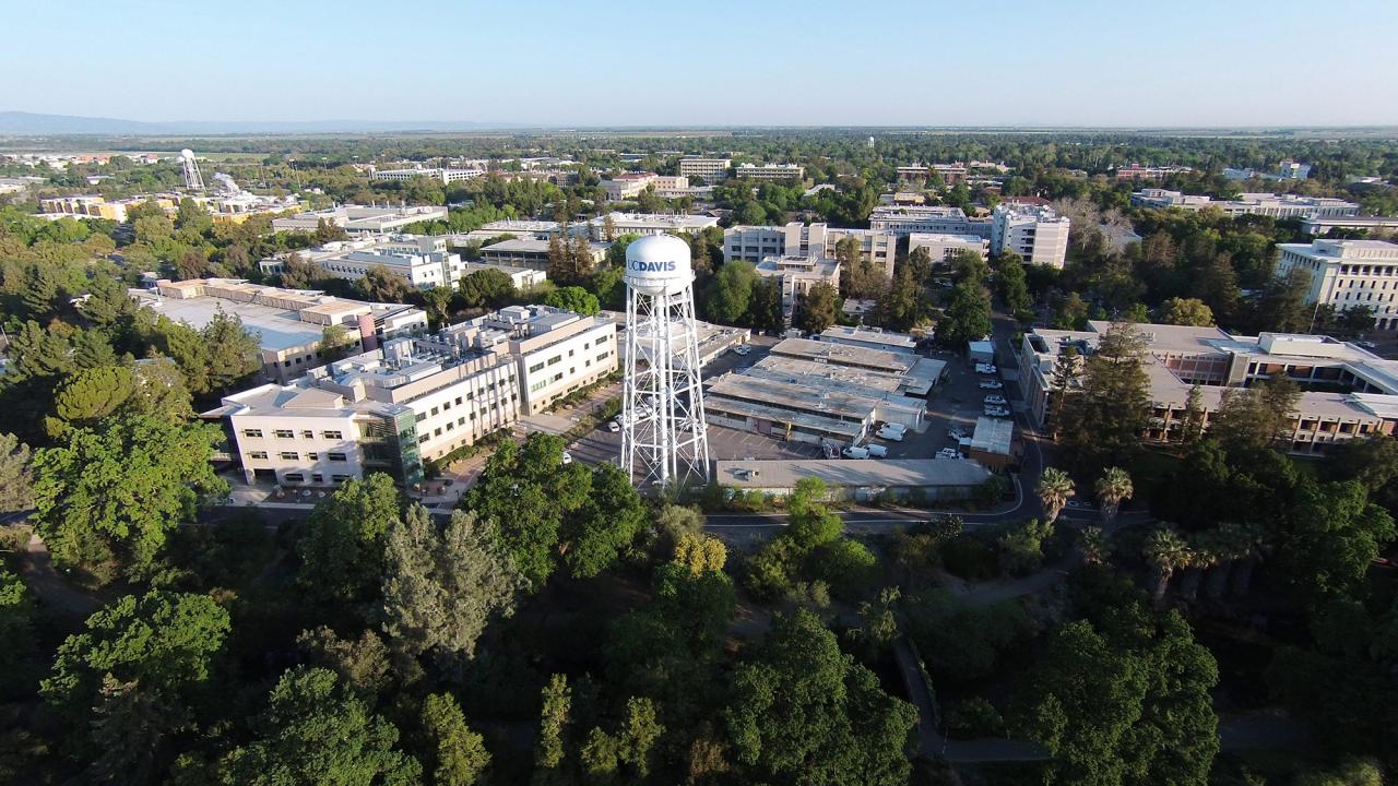
(Venue: UC Davis campus)
Registration fee
Students - $300
Others - $500
(in-person - limited to 30 participants)
Payment
Program outline
Day 1. Introduction to SWAT - presentation, followed by hands-on QSWAT exercises using sample dataset to delineate watershed, overlay land use/soil/slope, and finalize HRU delineation.
Day 2. Processing of weather data, writing default inputs, editing SWAT input databases, updating detailed project inputs specific to the watershed being modeled, running the model
Day 3. read the model outputs, SWAT_CHECK to diagnose the model results, interpret model results, visualization of model results, and manual calibration. Presentation of what is new in SWAT+
Day 4. SWAT-CUP, theory presentation, hands-on exercise on developing a project for sensitivity and autocalibration, and uncertainty analysis.
Day 5. Continuation of SWAT-CUP and Q&A until noon. Presentation and feedback from the participants.

Prof. R. Srinivasan
(Instructor)
For inquiries contact: Dr. Isaya Kisekka ([email protected])
To learn more about SWAT visit: https://swat.tamu.edu/